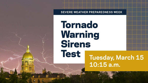
As winter transitions to spring, it’s time to prepare for the possibility of tornadoes and severe thunderstorms. Severe Weather Preparedness Week begins today, March 13. St. Joseph County will test outdoor tornado warning sirens at 10:15 a.m. Tuesday, March 15. It will be similar to how sirens are tested at 11:30 a.m. on the first Thursday of every month.
In the case of an actual tornado warning, the University will issue NDAlert messages if there is a threat to campus. The county will activate outdoor warning sirens and local media and the federal Wireless Emergency Alert (WEA) program will broadcast the warning.
What to do when a tornado warning siren has sounded:
- Move immediately to safe shelter in the nearest substantial building.
- Go to the basement of the building you are in for the best protection. If you cannot get to a basement, go to an interior room or hallway on the lowest floor possible.
- Avoid windows, large rooms, auditoriums or gymnasiums.
- In a high-rise building, pick a hallway in the center of the building. You may not have enough time to go to the lowest floor.
- Put as many walls as possible between you and the outside.
- Get under sturdy furniture. Crouch as low as possible to the floor, facing down and covering your head with your hands.
- You should remain in a safe location until advised that it is safe to return to work or study areas when the tornado or severe weather has passed. An all-clear will be broadcast via local media and through the NDAlert public address system.
- It is not safe to be inside a vehicle during the threat of a tornado. The best course of action is to drive to the closest shelter. If you are unable to make it to a safe shelter, either get down in your car and cover your head, or abandon your car and seek shelter in a low-lying area such as a ditch or ravine.
What is the difference between a watch and a warning?
A watch is less severe than a warning.
A thunderstorm watch means that damaging winds and hail are possible. It often precedes the issuance of a tornado watch. A tornado watch means that conditions are favorable for the development of tornadoes.
A tornado warning means a tornado has been sighted either visually or on radar and is in our area. When a tornado warning is issued by the National Weather Service, the St. Joseph County Emergency Management Agency tornado warning system will activate the siren located near the Notre Dame Fire Department. If you hear the siren, please move to a safe shelter.
For tornadoes, the siren issues a steady tone for three to five minutes. The siren will not issue an all-clear. All-clear signals are issued by the National Weather Service via local AM/FM radio and television station announcements and the NDAlert public address system.
For more information, visit the following websites or contact the Office of Campus Safety via email at safety@nd.edu. Click for a tornado safety checklist or for more information on tornadoes or how to prepare for a tornado.
Originally published by at ndworks.nd.edu on March 13, 2022.